Wild Weather Week Forecasted for Southern California: Thunderstorms, Heat, and Fire Weather
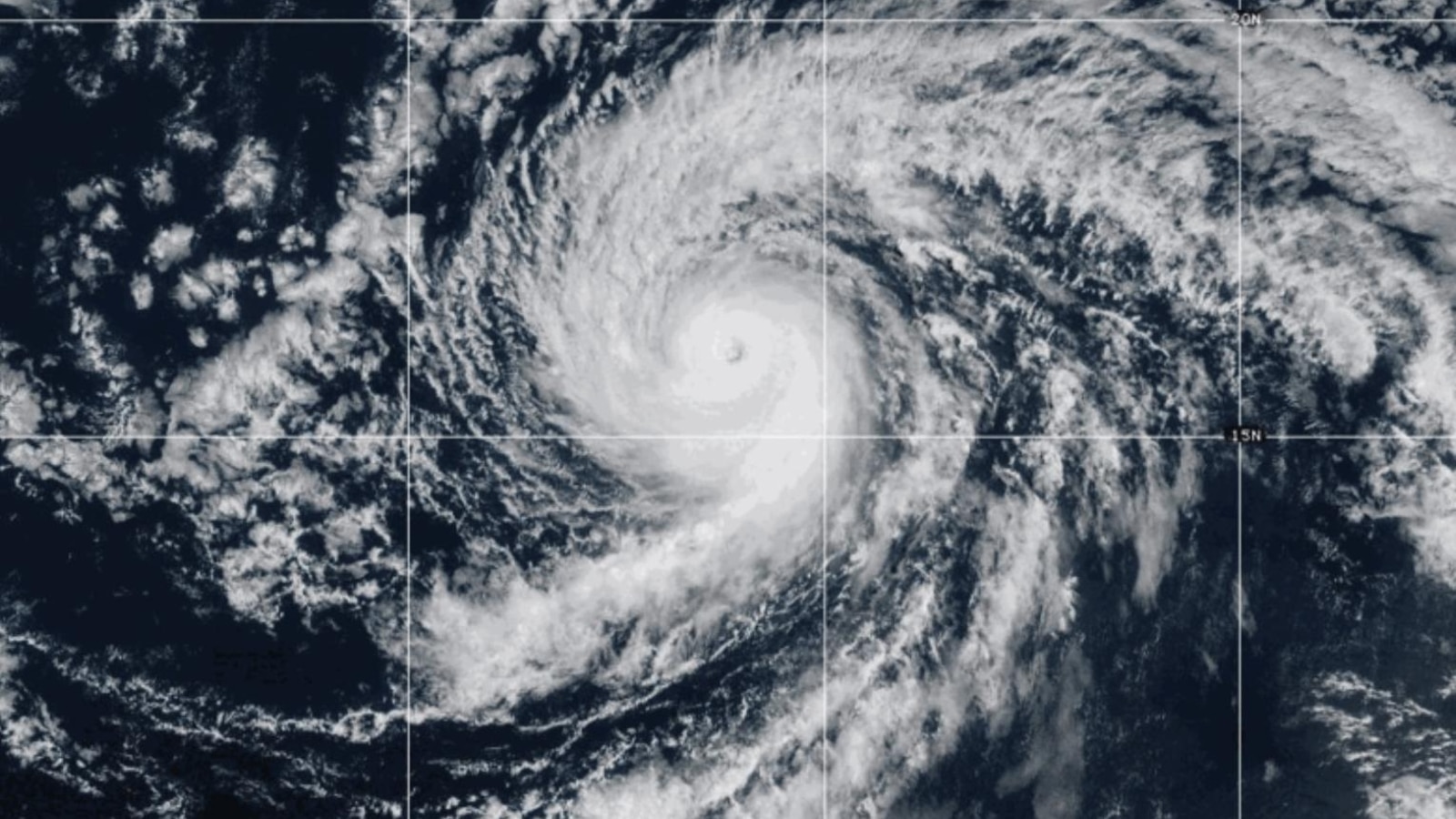
Southern California is bracing for a week of volatile weather, with forecasters predicting a combination of thunderstorms, high temperatures, and potential fire hazards. The confluence of multiple pressure systems, including the remnants of Tropical Storm Mario, is contributing to the uncertainty and complexity of the forecast.
Toasty Temperatures and Thunderstorm Risk
Tuesday is expected to be the hottest day of the week, with temperatures in warmer valley areas of L.A. County reaching triple digits. Inland coastal areas will experience temperatures in the 80s to low 90s. This heat will continue into Wednesday, coinciding with an increased risk of thunderstorms persisting through midday Friday. These storms bring the potential for lightning-sparked fires, especially in areas with dry vegetation.
Uncertainty and Potential Hazards
Meteorologist Kristan Lund highlights the uncertainty surrounding the thunderstorms: "Unfortunately, there’s a lot of uncertainty with the thunderstorms. We have a lot of different things at play — we have a ridge of high pressure building to our east, a low pressure system dropping out of the northwest, and we have Tropical Storm Mario coming up from the south."
- Fire Risk: Lightning strikes could ignite fires in dry areas.
- Flash Flooding: Brief, heavy downpours could lead to isolated flooding.
- Strong Winds: Thunderstorms may bring sudden and powerful wind gusts.
Rainfall Predictions and Safety Advice
From Tuesday night through midday Friday, there is a 15% to 25% chance of thunderstorms and a 60% to 90% chance of showers in L.A. County. Thursday is currently projected as the wettest day, but rainfall amounts remain uncertain, ranging from a tenth to half an inch, or potentially even more, depending on model projections.
Residents are advised to seek shelter immediately if they hear thunder, particularly in open areas like beaches. The weather service warns of a moderate risk for minor urban and roadway flooding on Thursday, and a low risk for significant flooding and debris flows.
Northern California Braces for Similar Conditions
While Southern California prepares for potential wet thunderstorms, Northern California faces a heightened risk of dry lightning and wildfires. The remnants of Tropical Storm Mario are contributing to a complex weather setup with a plume of anomalous moisture that could trigger thunderstorm outbreaks. However, unlike 2020, severe drought conditions are largely absent from NorCal.
Central Coast Weather Outlook
For the Central Coast, expect two more warm days before the chance of rain arrives on Wednesday afternoon. Vivian, from a Central Coast weather broadcast, cautions that interior valleys have a very dry air mass, potentially causing evaporation before rain hits the ground and an increased chance of dry thunderstorms. Accumulation totals will also depend on whether the core of low pressure pushes onshore or remains offshore.
Potential for Dry Lightning in Central and Northern California
The risk of dry lightning is notably elevated across parts of Central and Northern California. While severe drought conditions are not as widespread as in previous years, a swath from the mid-Central Coast to the central San Francisco Bay Area experiencing dryness is at greater risk for dry lightning-ignited fires. Meteorologists will be closely monitoring the evolution of this weather pattern.
Extended Forecast and Marine Heatwave
The threat of showers and thunderstorms is expected to persist through at least the first half of Friday before transitioning into a drier weekend. Looking ahead, an active weather pattern could return next week with another potential rain chance. The ongoing Pacific marine heatwave is contributing to warmer and more humid conditions, potentially intensifying the impact of subtropical moisture on California's weather.