Tropical Storm Imelda Threatens the Southeastern United States as Hurricane Humberto Swirls in the Atlantic
Residents along the southeastern coast of the United States are bracing for potential impacts from two weather systems: Tropical Storm Imelda, expected to form near the Bahamas, and Hurricane Humberto, a powerful Category 5 storm in the Atlantic. Forecasters are warning of heavy rainfall, strong winds, and potential flooding from Imelda, while Humberto's presence could influence Imelda's path.
Imelda's Projected Path and Potential Impacts
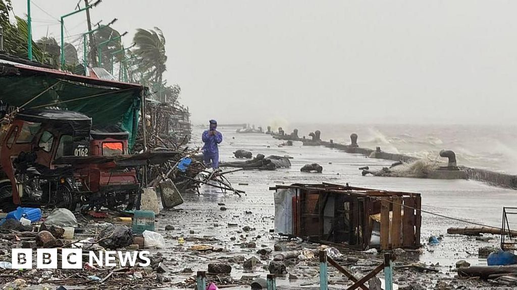
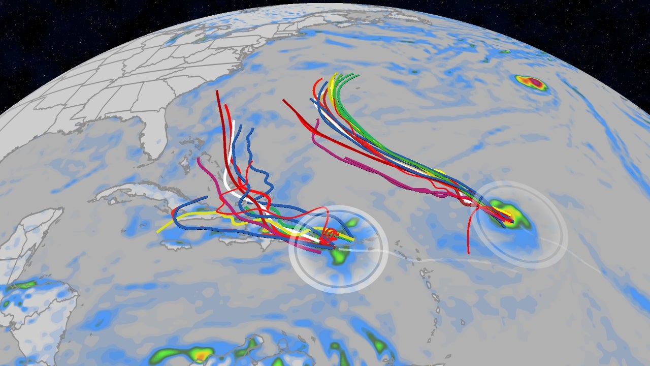
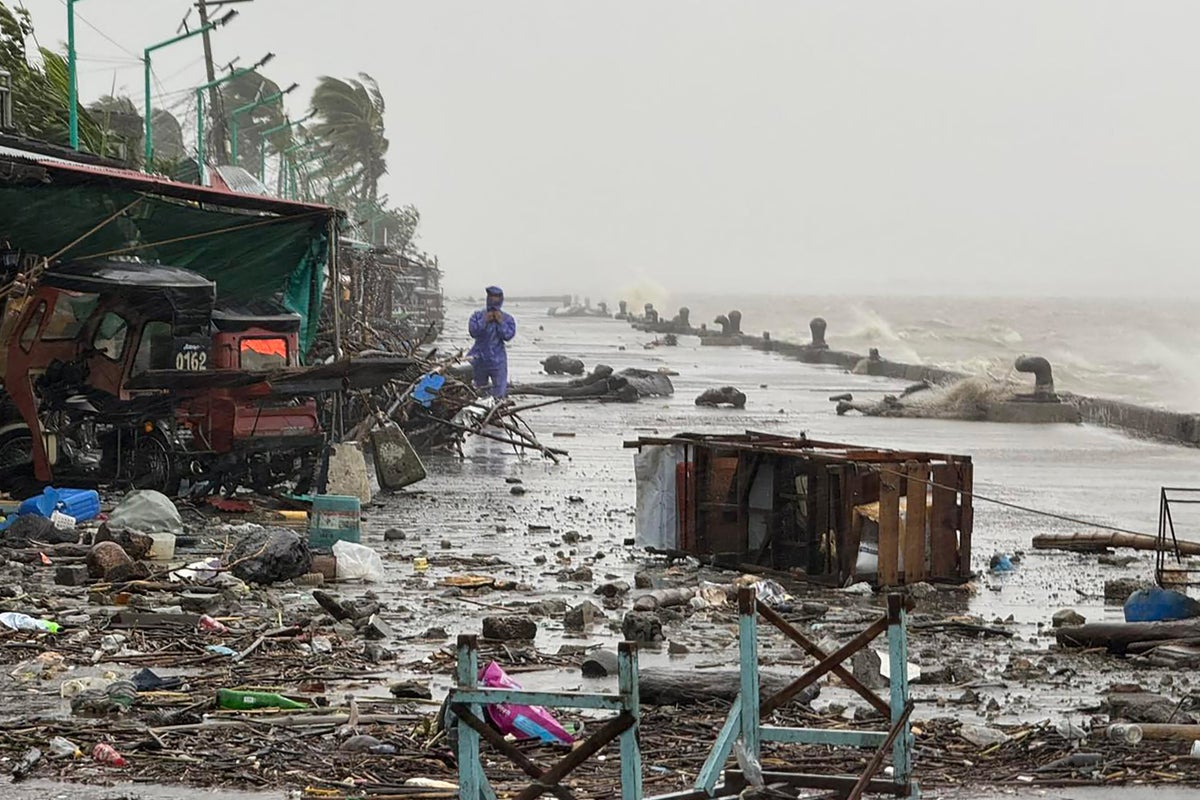
What began as Tropical Depression Nine in the Caribbean is forecasted to strengthen into Tropical Storm Imelda over the weekend of September 27-29, 2025. The National Hurricane Center (NHC) projects that Imelda will track north through the Bahamas, paralleling the east coast of Florida. While a direct landfall in Florida is not currently expected, rough surf, a high risk of rip currents, gusty winds, and scattered heavy rain are possible along the Florida coast.
As Imelda moves north, weather models suggest it will slow as it approaches the coasts of Georgia and South Carolina by Tuesday, September 30, potentially as a strong tropical storm or a weak Category 1 hurricane. The heaviest rain and strongest winds are expected to impact the Carolinas, with storm surge and coastal flooding possible.
- Tropical Storm Warning: Central and southwestern Bahamas, portions of the northwestern Bahamas
- Tropical Storm Watch: East coast of Florida from the Palm Beach/Martin County Line northward to the Flagler/Volusia County Line
State of Emergency Declared in South Carolina
In anticipation of Imelda's impacts, South Carolina Governor Henry McMaster declared a statewide state of emergency on Friday, September 26. "As this storm approaches our coast, I am issuing a State of Emergency to ensure Team South Carolina is able to access and deploy the resources and personnel needed to prepare for and respond to this storm," McMaster said.
"While the storm's arrival, speed, and intensity remain hard to predict, we do know that it will bring significant wind, heavy rainfall, and flooding across the ENTIRE state of South Carolina. We have seen this before. Now is the time to start paying attention to forecasts, updates, and alerts from official sources and begin making preparations." - South Carolina Governor Henry McMaster
Residents are urged to monitor forecasts, updates, and alerts from official sources and begin making preparations. Local governments are also taking preventative action, with the city of Charleston, South Carolina, issuing a local state of emergency "out of an abundance of caution."
Hurricane Humberto's Influence and the Fujiwhara Effect
While Imelda threatens the southeastern coast, Hurricane Humberto is swirling in the Atlantic as a Category 5 storm. Though Humberto is expected to remain west of Bermuda, its presence could influence Imelda's path through a phenomenon known as the Fujiwhara effect. This effect occurs when two nearby cyclones interact and can alter each other's trajectories.
The National Weather Service explains the Fujiwhara effect: "When two hurricanes spinning in the same direction pass close enough to each other, they begin an intense dance around their common center." Potential outcomes include one storm being absorbed by the other, the storms merging into a single storm, or the storms shooting off on their own paths.
Rainfall and Flooding Concerns
Forecasters are particularly concerned about the potential for heavy rainfall and flooding from Imelda. A stalled front over the Southeast coast is expected to interact with Imelda, leading to multiple days of rainfall from Georgia to Virginia. The NHC warns that this could result in flash, urban, and river flooding, particularly in the Carolinas and southern Mid-Atlantic states. Rainfall amounts of 3 to 6 inches are possible, with localized totals of up to 10 inches across portions of the coastal Carolinas.
Preparedness and Staying Informed
As the Atlantic hurricane season continues, residents along the southeastern coast are reminded to prepare early, stock up on essentials, and heed the warnings of emergency officials. Stay informed by monitoring official forecasts from the National Hurricane Center and local news outlets. Remember, "It only takes one storm to make it an impactful year for your community."
Key resources for staying informed:
- Track all active storms via the National Hurricane Center.
- Sign up for weather alerts via text.
- Monitor your local news for updated forecasts and warnings.